Click on picture for a large view
|
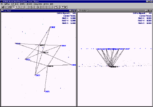
We use the Socet-Set “MST” software for this process. This package is able to integrate the coordinates of the center of each photograph (Aerial Transported GPS) and those of the control points. The aerial triangulation adjustment method is a fully analytical digital method which provides an adjustment solution to simultaneous line equations that represent all rays of the project's image.
The result includes a report with adjusted coordinates of the terrain of each point of land intersection, as well as the camera's position and the direction's value required to enter into the stereoscopic restitution (X, Y, Z, Omega, Phi, Kappa). |