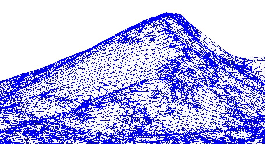
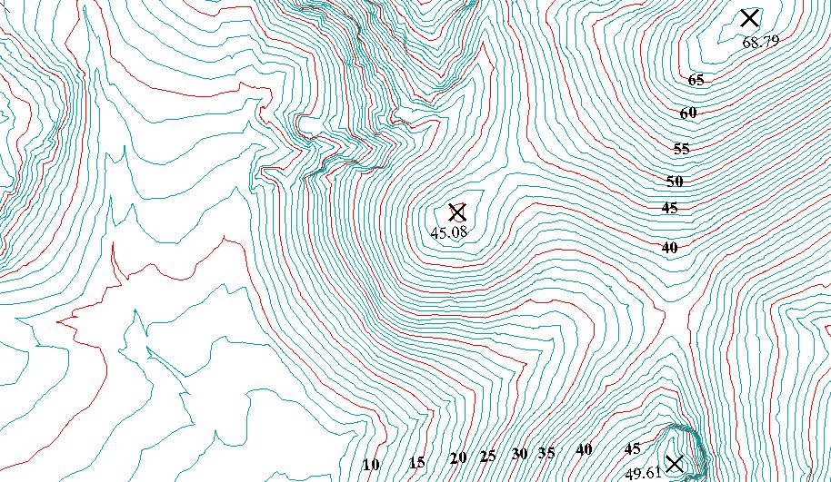
The restitution consists in digitalizing a three-dimensional model of the terrain in the area of study, which consists of the points of the stereoscopic model that have been read in the digital restitution; furthermore, runoffs, crests and support lines known as break lines used by the program that generates the triangulation irregular network (TIN).
Moreover, the plane surveying features are digitalized with vectorial elements, some of which will form part of the Digital Elevation Model (DEM).
Minimum Information Required for the Generation of a Three-Dimensional Model and, at the Same Time, of Orthophotos.
During this process, we use digital restitution, operating with the software developed by Leica and Helava Systems, Inc. (Socet Set and Pro600).
|