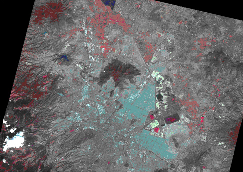
With the remote sensing satellites available to us we can produce products similar to DAIS-1 but also cover wider areas and more bands along the electromagnetic spectrum.
LANDSAT 7 Thematic Mapper has 8 bands: 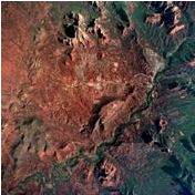
 1 Pan (15-meter) 1 Pan (15-meter)
3 visible (30-meter),
3 infrared (30-meter)
1 Thermal IR (60-meter resolution before sampling)
revisiting the same site every 16 days.
This provides cost-effective products for mineral exploration, crop forecasting, land-use change detection and other “spectral signature” type thematic classifications.
We are among the first companies certified to provide the new IKONOS 1 satellite imagery. This commercial satellite is versatile enough to revisit the same site every 3 days and provide “pan-sharpened” 1-meter resolution, 4-band multi-spectral, digital imagery.
Many other satellite systems are available including Synthetic Aperture RADAR, which can be used for subsurface penetration.
|